Did you know that your WeatherTalk subscription helps support numerous local charity events?
Check them out at these links
The Justin Croach Memorial Scholarship

We offer interactive local city view radars and regional radars.
If a radar does not update then try another one. If a radar does not appear to be refreshing then hit Ctrl F5. You may also try restarting your browser.

Just a brief Sunday update
December 2, 2018
** Winter Cold **
** Precipitation? **
Remember, potential does not always make reality.
It is still too early for a forecast on who ends up with no precip, rain, snow, or other precipitation. Keep this in mind.
My plan is to spend today with family and friends. My nephew has a birthday. I have to regroup after the open house. Clean up a bit! We had over 300 people.
Tomorrow, I will start in full force in tracking and updating everyone on the end of the week system. Assuming we have one!
We will start Milk and Cookie with Beau Wednesday (if confidence increases).
I want to remind everyone that www.weathertalk.com is more than just an app/text service. What you are paying for extends over to what you see here on Facebook, Twitter, the daily digital media blog, the short and long range videos from the long-range meteorological team, my time, and the charity work.
Some of you have said you don’t subscribe because you don’t want the app/text messages. I need to rebrand all of this as more than just app/text messages.
I appreciate your subscription support. That is what keeps everything running! You may subscribe at the weathertalk.com link.
Winter storm update.
Hello, everyone.
First, thank you to everyone who came out to the open house. Wow, were there a ton of people. I had a blast meeting all of you.
There are multiple weather stories to follow this week.
We were fortunate, as many of you know, yesterday. A tornado outbreak struck areas to our north. Some areas have major damage.
It was iffy here as to storm redevelopment. In the end, only a few storms formed over our eastern counties.
We are returning to well below normal temperatures. Winter cold. You already feel the change this morning vs yesterday.
Some on and off light snow flurries or light snow showers will be possible Monday into Thursday. A series of very weak disturbances will brush our region.
At this time, accumulating snow appears unlikely or marginal.
I suppose if a snow shower or two moves over your location you could pick up a quick dusting. Don’t count on much.
The bigger story is a storm system we have been tracking for about a month. It first showed up in the long range analogs and guidance.
A significant precipitation event is possible as we push towards the weekend.
There are timing differences. The potential centers around Friday into Sunday.
Model guidance has consistently shown widespread thunderstorms, severe weather, rain, freezing rain, sleet, and snow.
As always, the track of the low is key.
If the low stays to our south then we are in for a winter storm. If that low tracks right over us or to the north then we will have rain, thunderstorms, and potentially severe weather.
This has the potential (potential does not always make a reality) for a big event.

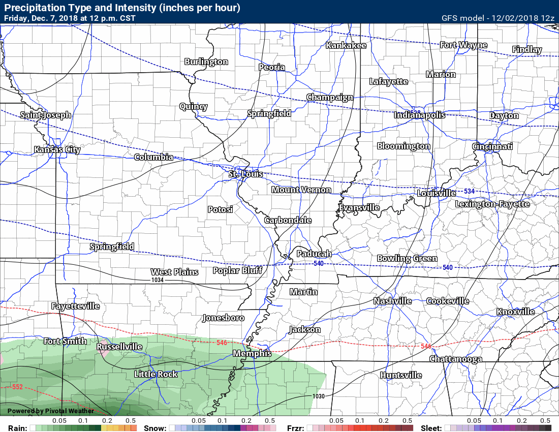
GFS precipitation future-cast radar animation. The time-stamp is in the upper left corner.
Blue is snow, pink/red is sleet and ice, green is rain.
Click to enlarge.
Did you know that you can find me on Twitter?

Subscribers, do you need a forecast for an outdoor event?


We offer interactive local city live radars and regional radars.
If a radar does not update then try another one. If a radar does not appear to be refreshing then hit Ctrl F5 on your keyboard.
You may also try restarting your browser. The local city view radars also have clickable warnings.
During the winter months, you can track snow and ice by clicking the winterize button on the local city view interactive radars.
![]()

A new weather podcast is now available! Weather Geeks (which you might remember is on The Weather Channel each Sunday)
To learn more visit their website. Click here.
![]()

WeatherBrains Episode 671
Tonight’s Guest WeatherBrain is the recipient of the 2018 National Weather Association Public Education Award. He received the award for his severe weather and climate outreach, organizing the Central Plains Severe Weather Symposium and Family Weatherfest (CPSWS) in Lincoln, NE year after year since 1999, and running a national weather camp program.
Dr. Ken Dewey, welcome to WeatherBrains!
onight, our Guest WB is joined by a special Panelist, who is a friend of the show and a friend the WB. He is a graduate of the Atmospheric Science at The Ohio State University. He is the owner of JRB Storm Photography with his wife. His mission is helping the public gain an understanding of the importance of weather. Jeremy Bower, welcome to the show!
Other discussions in this weekly podcast include topics like:
- More discussion on social media
- Winter weather outlook
- Astronomy Outlook with Tony Rice
- and more!
Link to their website https://weatherbrains.com/
Previous episodes can be viewed by clicking here.
We offer interactive local city live radars and regional radars. If a radar does not update then try another one. If a radar does not appear to be refreshing then hit Ctrl F5. You may also try restarting your browser.
The local city view radars also have clickable warnings.
During the winter months, you can track snow and ice by clicking the winterize button on the local city view interactive radars.
You may email me at beaudodson@usawx.com
Find me on Facebook!

Find me on Twitter!

Did you know that a portion of your monthly subscription helps support local charity projects?
You can learn more about those projects by visiting the Shadow Angel Foundation website and the Beau Dodson News website.

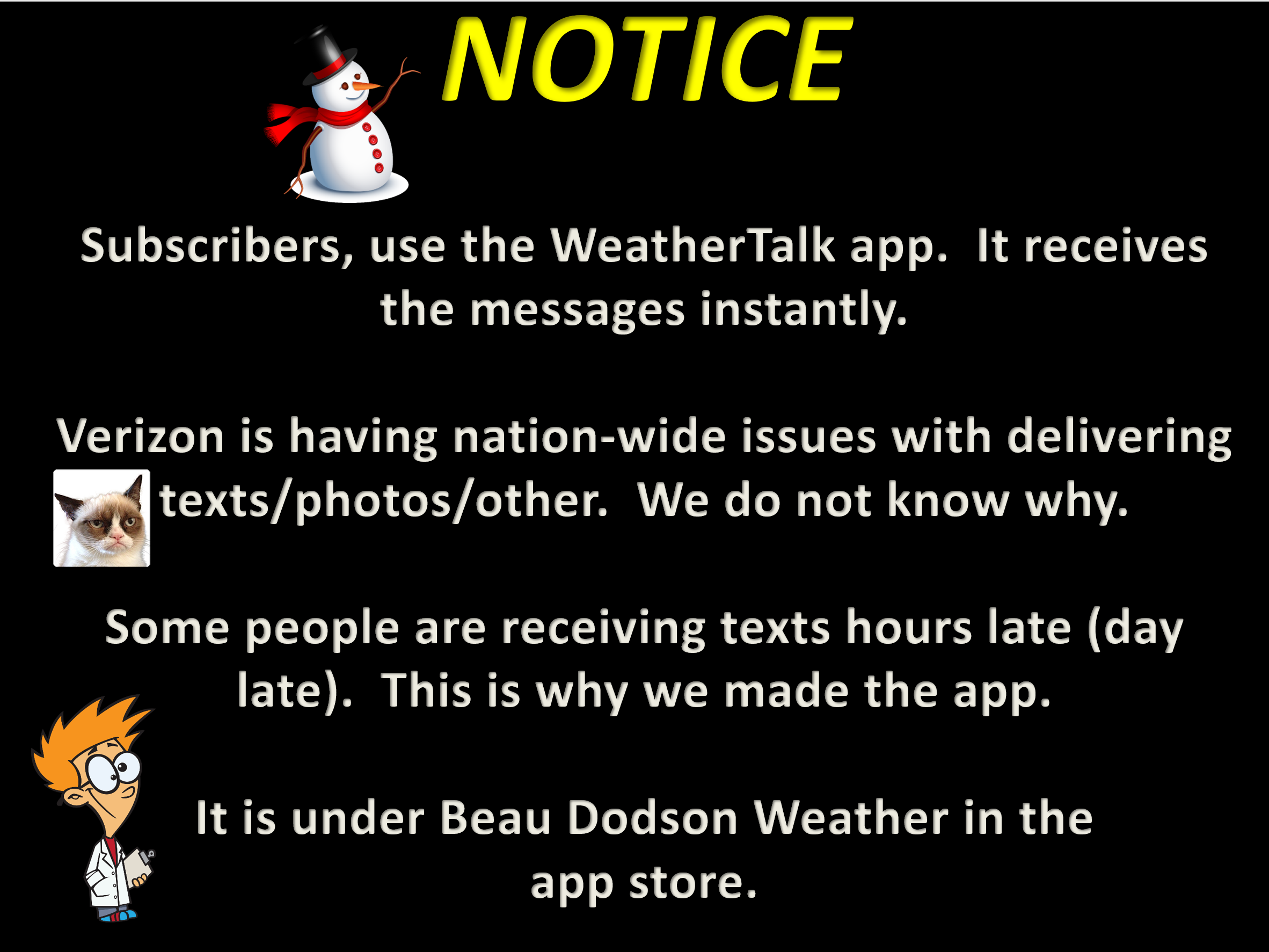
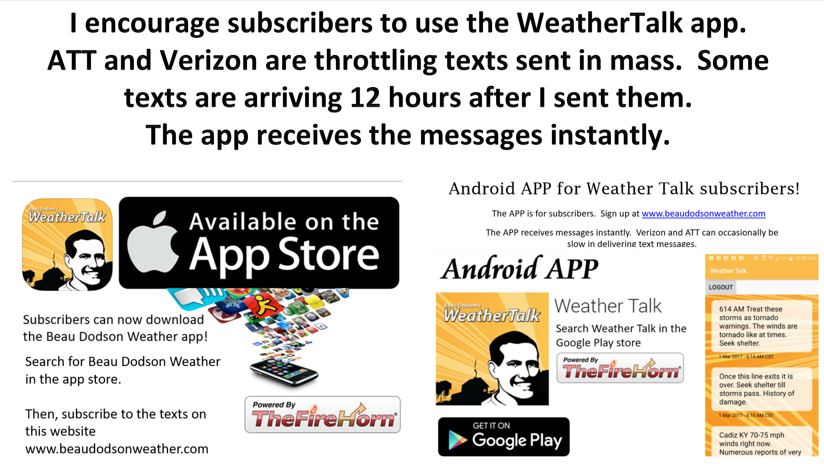
I encourage subscribers to use the app vs regular text messaging. We have found text messaging to be delayed during severe weather. The app typically will receive the messages instantly. I recommend people have three to four methods of receiving their severe weather information.
Remember, my app and text alerts are hand typed and not computer generated. You are being given personal attention during significant weather events.
